
Basic Geoinformatics
Foundations of GIS, remote sensing, coordinate systems, and spatial data handling for newcomers.
- GIS fundamentals
- Satellite data basics
- Cartography
- QGIS workflows
Professional training
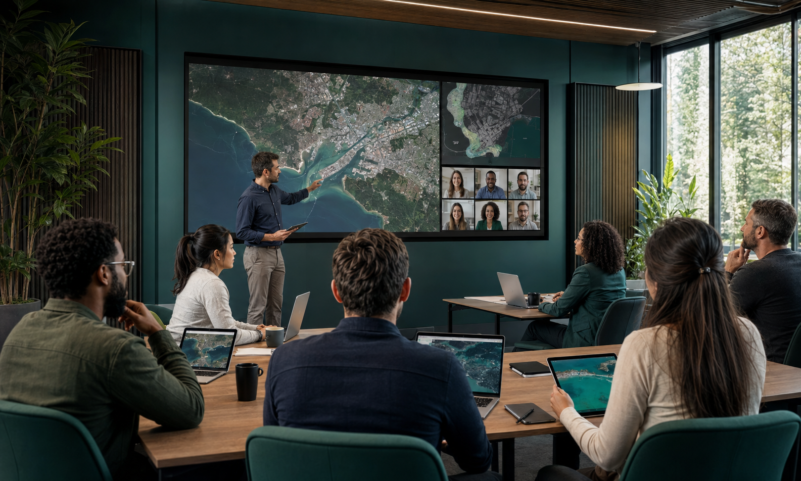
Practical, live online training that takes teams from geospatial fundamentals to applied GeoAI across coastal, urban, environmental, and resource domains.
Catalogue
Each course blends theory, guided labs, and a capstone exercise using operational datasets. Custom in-house programmes are available on request.
Foundations of GIS, remote sensing, coordinate systems, and spatial data handling for newcomers.
Shoreline change, water quality, plume detection, and habitat mapping with machine learning.
Urban growth, land-use change, heat islands, and infrastructure analytics at city scale.
Deep learning for object detection, segmentation, and feature extraction from imagery.
Canopy structure, biomass estimation, and deforestation monitoring using LiDAR and optical data.
Crop mapping, yield prediction, irrigation monitoring, and precision farming analytics.
Surface water dynamics, hydrological modelling, drought and flood risk intelligence.
Spectral analysis, lithological mapping, and AI-supported mineral prospectivity modelling.
How we teach
Short, focused sessions delivered by practising geospatial scientists.
Instructor-led virtual classrooms with recordings and hands-on labs.
Work with genuine satellite, drone, and LiDAR datasets from live projects.
Every module ends with a deliverable you can reuse in your own work.
Receive a GeoSpace.sa certificate of completion for each course.
Enrolment
Tell us your team size, experience level, and target course. We’ll confirm the next cohort dates or design a tailored curriculum.